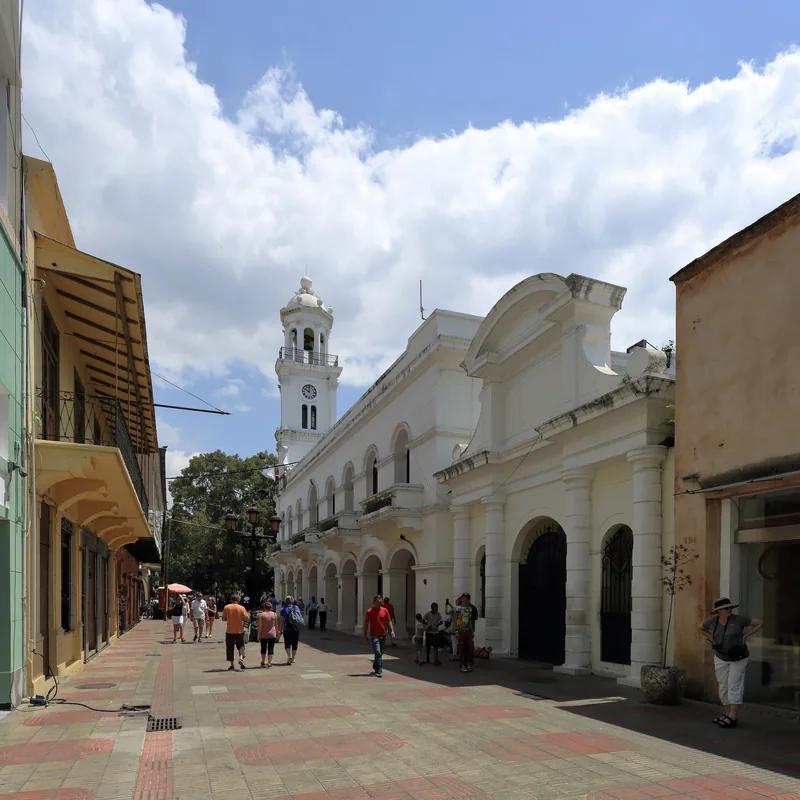
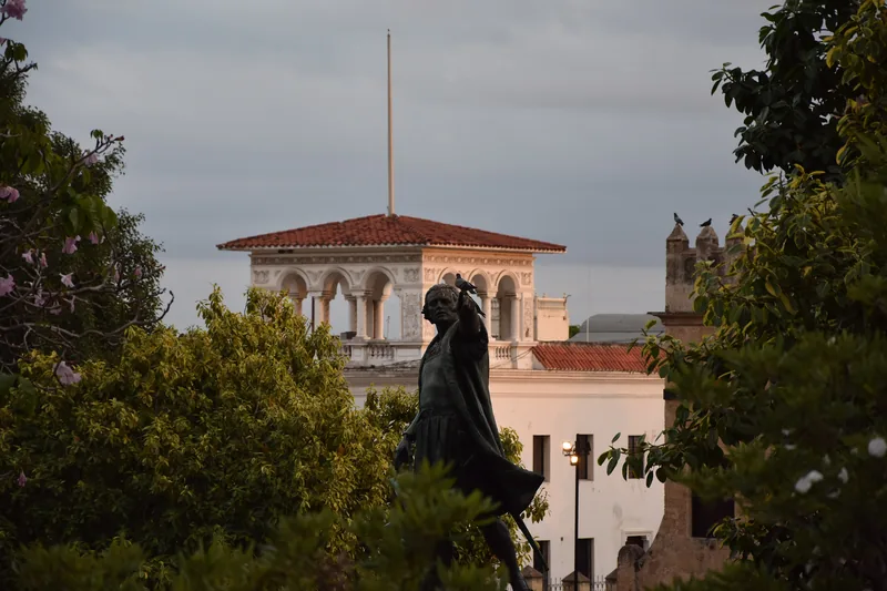
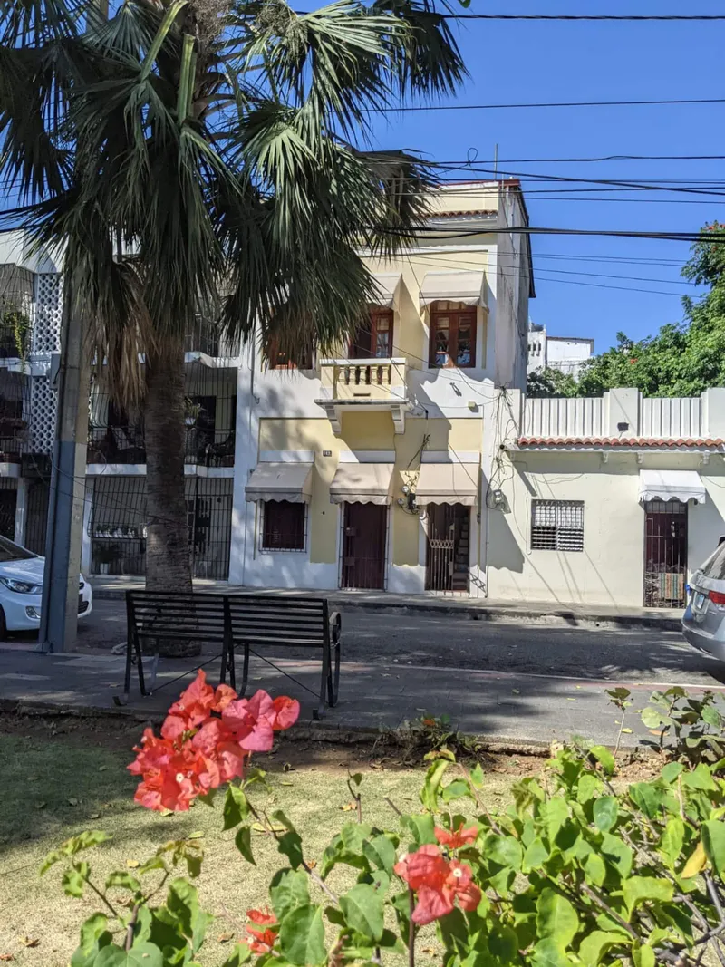
The Zona Colonial is small enough to cover on foot in one long morning, and the streets are laid out so that the oldest buildings sit in a loop you can walk without backtracking. This route is that loop. It starts at the Montesinos monument on the sea front, runs out to the river fort, climbs Calle Las Damas to the old palace square, cuts west to a roofless monastery, comes back down past a ruined hospital and the cathedral, and ends at a convent church before returning to the sea.
There are ten stops. The whole route is about 3.2 kilometers on the street, counting a 30 percent allowance for corners, which is roughly 40 minutes of actual walking at a steady pace. With a pause at each stop, plan on four to five hours, or a full day if you go inside every museum. Each stop below says how far it is from the last one and what to look at, and then hands you to a longer page on this site that tells the history. This page does not retell those stories. It tells you where to stand and which way to face.
Distances between stops are straight-line figures from OpenStreetMap coordinates, multiplied by 1.3 for the real streets. Opening hours change and sources do not always agree, so treat every hour below as a thing to check before you go.
Before you start
Go early. The sun is high by late morning and Calle Las Damas is narrow with little shade. Carry water and a light shirt or wrap, since the national pantheon enforces a dress code that covers shoulders and knees. The Casas Reales museum and the monument are closed on Mondays in most listings, so a Tuesday to Saturday start gives you the most open doors. The history hub lists every story in the series, and A History of the Zona Colonial gives the arc.
Stop 1, the Montesinos monument
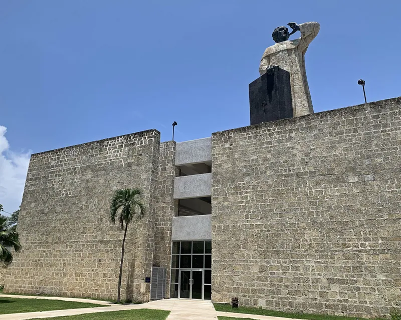
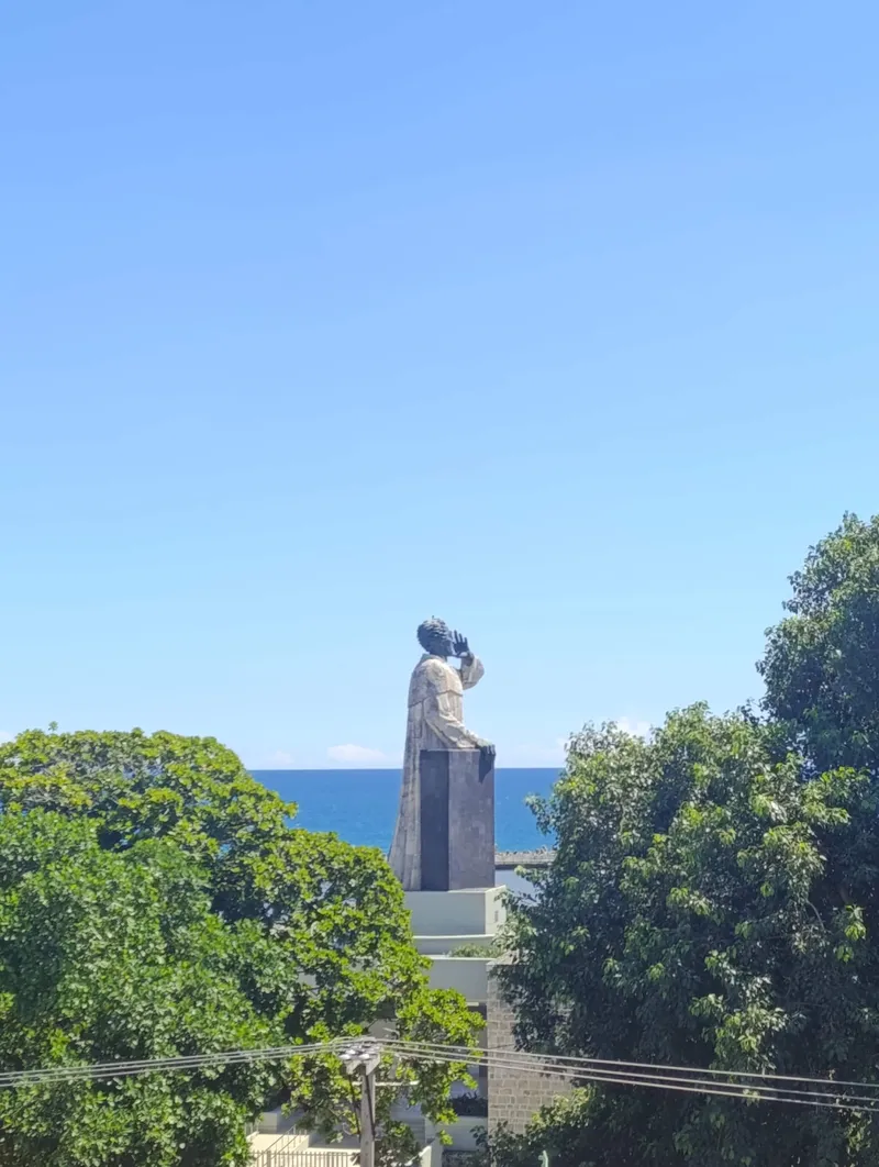
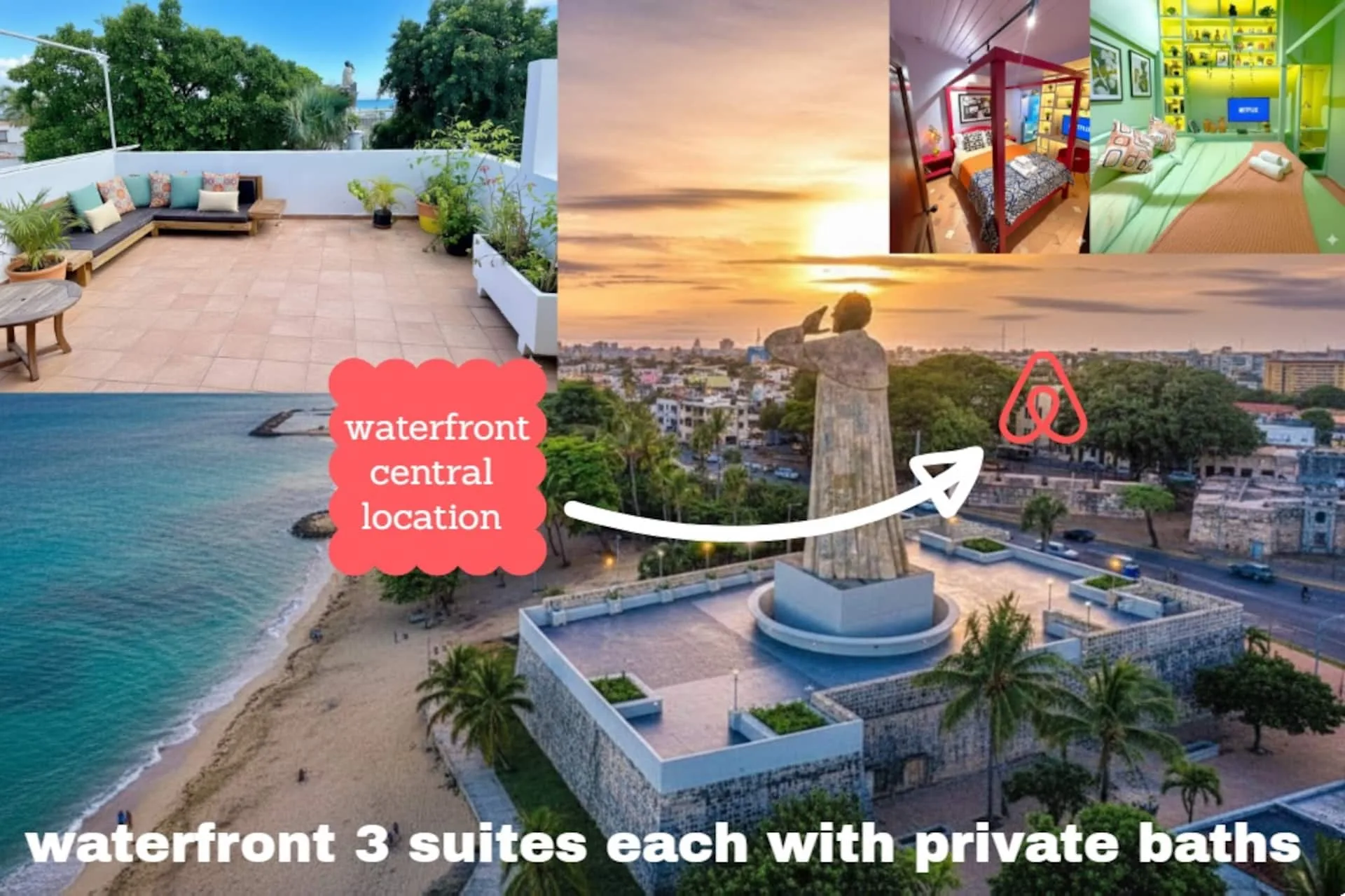
Start at the foot of the monument, on the Malecón at the end of Paseo Presidente Billini. It is a bronze and limestone statue about 15 meters tall, and it shows the Dominican friar Antón de Montesinos preaching in 1511. The story of the sermon, the sculptor and the Mexican gift that paid for it belongs to Fray Antón de Montesinos and His 1511 Sermon.
What to look at here is the position. The monument stands at the entrance to the port avenue, and one local property magazine notes that it is often the first landmark travelers see when they arrive by sea. Face the water, then turn around and see the old city climbing away from you. Everything on this route is behind that wall of coral-stone buildings.
If the monument is open, you can climb to the base of the statue. A 2019 report from El Día says visitors can go up to the foot of the figure, which stands on the shape of a pulpit, and a property-industry article lists daily hours from 9 a.m. to 6 p.m. with Monday closed. A second source lists different days, so check the day you plan to go. At night the monument is lit in the blue, white and red of the Dominican flag, which is worth knowing for the end of the evening.
Stop 2, the Fortaleza Ozama
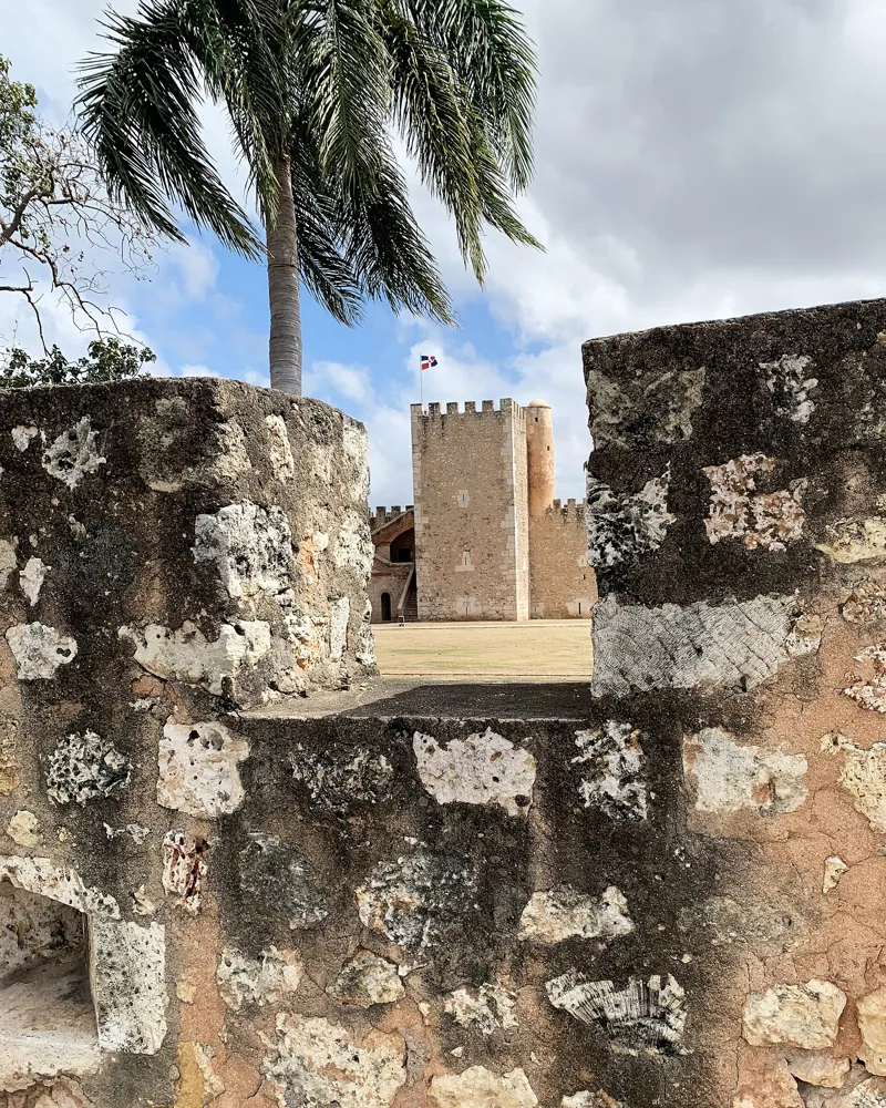
From the monument, walk northeast toward the river. The straight-line distance is about 515 meters, so allow about 670 meters on the street and about 10 minutes. The fort sits at the mouth of the Ozama River, at the southern end of Calle Las Damas, and it is the place to begin the old city properly because it is where the settlement was first defended.
The Dominican tourism board says it was built from 1502 to 1508 under Governor Nicolás de Ovando and calls it the first permanent military structure in the Americas. That is the board's claim, and a local guide describes it more carefully as one of the oldest forts of its kind in the Americas. Either way, what you see is original coral limestone cut into tight blocks, which is why the walls look so solid. The guide says the walls are about 3 meters thick, except the river wall, which is about 1 meter, and that the central tower, the Torre del Homenaje, stays cool inside even at midday. The tourism board puts the tower at about 69 feet and says a spiral stair leads to a lookout platform with views over the river and the port.
Look for the cannons along the perimeter, a cannonball embedded in the outer wall near the main entrance, and a small Gothic-style lookout at the far corner of the back wall. Guides wait at the gate, and the local guide recommends one. The long story, including its later use as a prison, is in Fortaleza Ozama. The river beside it is covered in The Río Ozama and the Old Port.
Stop 3, Calle Las Damas
Leave the fort by its main gate and you are at the south end of Calle Las Damas. Walk north. The street is a little under a kilometer long, and the next stops are all on it or a step from it.
The tourism board calls it the first paved street in the Americas. Other sources agree only that it was laid out in 1502, so the safest way to read the claim is as tourism wording. What you can verify with your own eyes is the sixteenth-century stone architecture along both sides, now used for museums, embassies and hotels. The detail work, including what the name means and which houses are which, is in Calle Las Damas.
Two houses are worth slowing for. The first is the Casa de Bastidas, close to the fort. A 2016 article in Listín Diario says it was the home of the navigator Rodrigo de Bastidas and that it has a large courtyard with Roman-style arches overlooking the river. A children's science museum has used it, and the museum's name has changed over time, so look at the sign. The second is the Casa de Ovando, a few doors on, which a local guide says dates from about 1502 and was built for the governor. It has carved stone windows and a mahogany ceiling, and it now works as a hotel, so you look at the doorway and facade from the street.
The distance from the fort gate to the Panteón is about 335 meters in a straight line, so plan on about 440 meters, or about 6 minutes.
Stop 4, the Panteón de la Patria
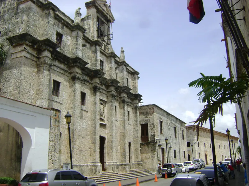
The Panteón is the pale stone building on the left side as you walk north. It was a Jesuit church, built between 1714 and 1746 according to one travel site, and it was converted into the national pantheon in 1958. Panteón de la Patria tells the conversion story and lists who rests inside.
What to do here is simple. Check the dress code before you reach the door. The same travel site calls it the strictest in the Colonial Zone: no shorts, tank tops, flip-flops or hats, and shoulders and knees covered for everyone. Inside, two soldiers stand at the entrance to the central crypt, and the guard changes on the hour. Stand near the central nave about five minutes early if you want to see it. Do not photograph the soldiers' faces directly. The site lists hours as Tuesday through Sunday, 9 a.m. to 5 p.m., and says it can close for state ceremonies, so check on the day. Admission is free, with a small donation appreciated.
Allow 20 to 30 minutes.
Stop 5, the Casas Reales and the sundial
Walk on. The Museo de las Casas Reales stands at the corner of Calle Las Damas and Calle Las Mercedes, about 80 meters in a straight line from the Panteón, or about 100 meters on the street. The two stone buildings were the seat of the governors and the first high court, and the page on the Museo de las Casas Reales explains who sat here.
The Dominican tourism site lists the museum's collection as mostly colonial-era objects, including maps, weapons and treasure, and says displays cover Taíno culture, Columbus's voyages, slavery, sugarcane, tobacco, cacao, rum, independence and pirates. It lists the ticket at 100 pesos with audio guides in English and other languages, and hours of 9 a.m. to 5 p.m., closed on Mondays. Another listing page says "daily," so that is the item to confirm before you plan around it.
Outside, look for the sundial in front of the buildings. A tourism page dates it to 1753. It is a small thing that is easy to walk past, and it marks the point where Calle Las Damas opens out toward the plaza.
Stop 6, the Alcázar de Colón and Plaza de España
From the sundial it is another 185 meters in a straight line, about 240 meters walked, to the head of the street. The long building with an arcade is the Alcázar de Colón, the palace Diego Colón built. The page on the Alcázar de Colón has the story, and it also covers the three-year renovation.
The practical news is that the palace museum reopened on 29 September 2026 after about three years of work, according to Diario Libre. The newspaper says admission was free during the first month, and the museum now follows a new route that includes a recreated viceregal bedroom, sacred art, a large woven hanging and an upper arcade with views over the Ozama River. Free entry was for a limited period, so ask at the door what the ticket costs now.
The plaza in front is Plaza de España, also called Plaza de la Hispanidad. A bronze statue of Ovando stands in the middle, with the inscription calling him founder of the new city of Santo Domingo. The tourism board says the plaza hosts concerts and festivals, and a row of terraces faces the old city at the far end. Another tourism site says the bars and restaurants set up their tables here at twilight. Heading north from the square you reach the long brick warehouses known as the Atarazana, now restaurants, galleries and a museum. The whole subject is in Plaza de España and La Atarazana. This is the right place for a coffee and a rest, because the next leg climbs.
Stop 7, the ruins of the Monasterio de San Francisco
Leave the plaza heading west, away from the river. The ruins are about 330 meters from the Alcázar in a straight line, about 430 meters on the street, and the walk is a gentle climb. A local guide says the Franciscan complex began in 1509 under Ovando and was finished in 1560, and that a hurricane in 1930 destroyed the chapel's vaulted roof. That is why you stand in an open shell with the sky for a ceiling.
Look for the Franciscan cord carved around the main doorway, the arches of the Third Order chapel, the central plaza, and the covered well. The guide warns about holes in the ground and the well, so watch your step. It also notes that a Dominican priest turned the building into an asylum in 1881, and that traces of chains remain on the walls. The full account is in The Ruins of the Monasterio de San Francisco.
Sunday afternoons have a second life here. A 2012 article in Acento describes free live son and merengue concerts starting around 4 p.m., with people dancing on the slope of Calle Hostos. That report is old, so treat it as a tradition to check rather than a schedule. The colonial zone at night article is where current evening plans belong.
Stop 8, the ruins of the Hospital San Nicolás de Bari
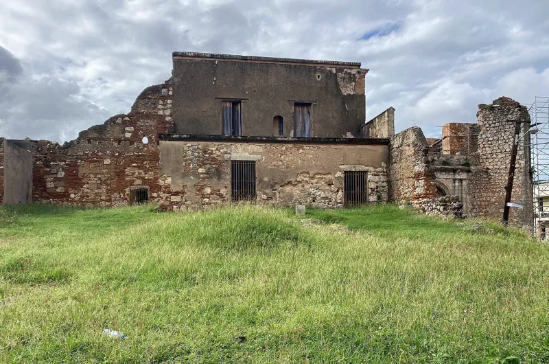
Walk south down Calle Hostos. The ruins are about 235 meters from the monastery in a straight line, about 310 meters walked, a few minutes downhill, and you will see the white Altagracia church beside them. The ruins stand between Calle Mercedes and Calle Luperón.
A local guide says the first hospital was ordered by Ovando in 1503, and that a larger stone building replaced it between 1533 and 1556. It describes what survives: pillars, an archway, a cross-shaped outline in the faded blue floor tiles, and holes in the walls where pigeons and parrots nest. The guide also warns about an active beehive high on an outside wall, so keep your distance. Whether it was the first hospital in the Americas is a claim made by several sources and is covered, with the doubts, in Hospital San Nicolás de Bari. The sources give no opening hours for the ruins, and you can see most of them from the street.
Stop 9, the Catedral Primada and Parque Colón
From the hospital it is about 265 meters in a straight line to the cathedral, so about 345 meters on the street. Go back toward Calle El Conde and turn toward the river. The street is pedestrian-only and runs about ten blocks from Parque Independencia to Calle Las Damas, according to the tourism board, with restaurants, cafés, souvenir shops and grocery stores. The board calls it the first commercial street in the New World. It is the natural place for lunch.
The park at the end is Parque Colón, bounded by Calle El Conde, Isabel la Católica and Arzobispo Meriño. The bronze Columbus statue was unveiled on 27 February 1887, and a local guide credits the French sculptor Ernest Gilbert. The same guide says the first electric lights in Santo Domingo were switched on in the park on 27 February 1896. The guide also warns that vendors, tour guides and taxi drivers approach visitors often, so decide in advance what you want. The square, the statue and the street are covered in Parque Colón and Calle El Conde.
The cathedral faces the park. The Dominican tourism site says the first stone was set in 1514 and the building was completed in 1541, and that it blends Renaissance design with Gothic, Plateresque and Mudéjar influences. It has three doors, two Gothic and one Plateresque, and fourteen chapels inside. Other sources date the work differently, which is covered in Catedral Primada de América. The tourism site lists it as open Monday to Saturday from 8 a.m. to 5 p.m., closed to the general public on Sundays for worship, with entrances on Arzobispo Meriño and Isabel la Católica. Reserve 30 to 45 minutes, and a bit more if the chapels interest you.
Stop 10, the Convento de los Dominicos
The last stop is the convent church beside Parque Duarte. From the cathedral, head south and a little west. The straight-line distance is about 205 meters, so about 270 meters walked. An article in El Día says the Dominicans arrived in 1510, that work on the convent began in 1517, and that the facade shows work from the late sixteenth to the eighteenth centuries.
The thing to look up for is the vault of the chapel, which El Día describes as decorated with zodiac signs that stand for the twelve tribes of Israel, the prophets and the apostles, with the sun at the center. The article also describes a Gothic rose window on the facade and a balcony that overlooks Parque Duarte. It says Montesinos preached his sermon here, which is why the walk ends in the same story it began with. The claim that the convent hosted the first university in the New World, and the argument about that, are in Convento de los Dominicos.
The smaller churches have their own page, Colonial Churches of the Zona Colonial.
The way back
From the convent, the monument is about 310 meters in a straight line and about 405 meters on the street, a walk of about 5 minutes. Return to the sea wall, and you finish where you started.
What the route leaves out
The route skips the Puerta del Conde at the western end of Calle El Conde and the Casa Duarte museum. They have their own pages: Puerta del Conde and Independence in 1844, Juan Pablo Duarte and Museums of the Zona Colonial. For a plan that mixes sights with meals and rest, see two days in the Zona Colonial.
Getting there from the penthouse
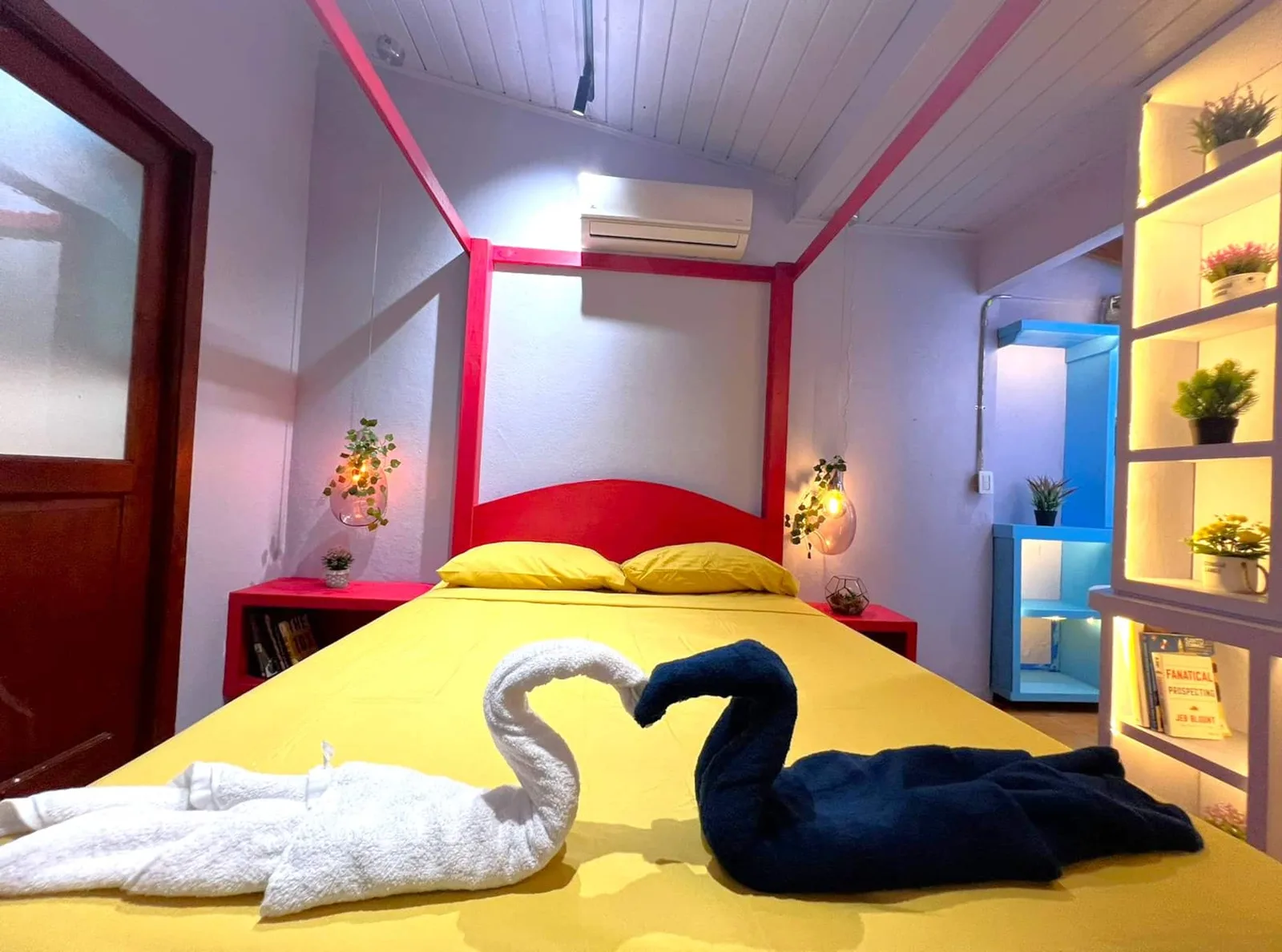
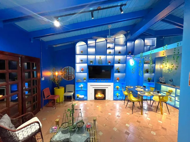
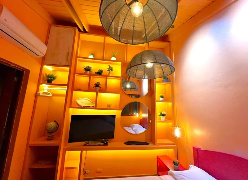
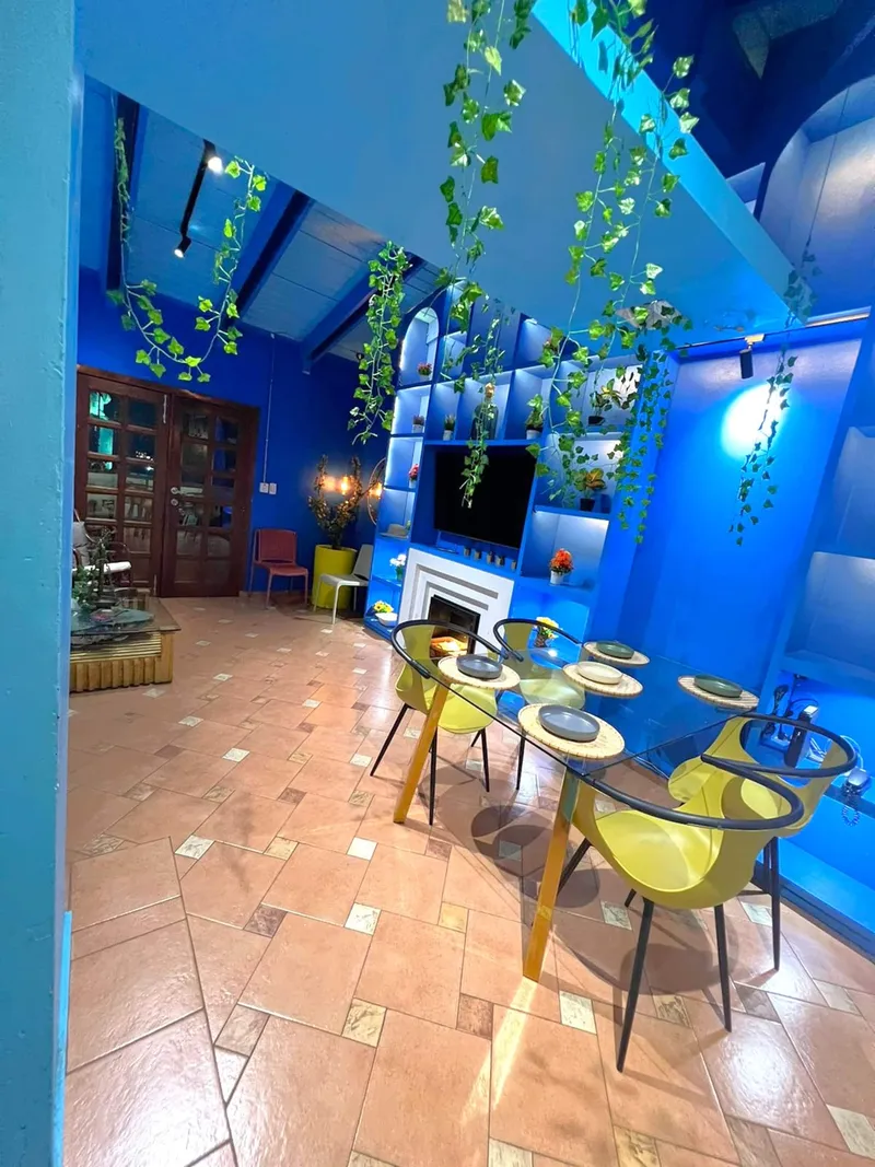
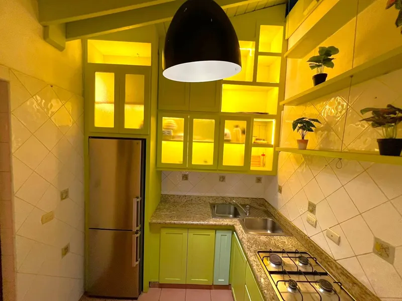
Penthouse Pallazzo is built in a townhouse from the 1760s and faces the Montesinos monument. The monument is under 100 meters away in a straight line, so the first stop is about 5 minutes on foot. The last leg of the loop brings you back to the same spot. The location page shows the monument and the sea front on a map.
Frequently asked questions
How long does the whole walk take?
About 3.2 kilometers on the street, or around 40 minutes of walking. With time at each stop, plan on four to five hours. Add more if you go into museums or climb the fort tower.
What is the best time to start?
Early in the morning, when the sun is low and the streets are quiet. Several sites close on Mondays, so a Tuesday to Saturday start gives you the most open doors.
What should I wear?
Light clothing that covers your shoulders and knees for the Panteón, shoes with a good grip, and a hat. Bring water.
Do I need a guide?
Not for the route. A guide is useful at the fort, where a local guide recommends one.
Can I shorten it?
Yes. Stops 1 to 6 make a compact morning on and around Calle Las Damas, and stops 7 to 10 make an afternoon loop.
Are the opening hours reliable?
Treat them as a guide. Sources disagree on a few of them, state ceremonies close some sites, and the Alcázar reopened only in late September 2026 after three years of work. Ask at the door.
Sources
- https://www.godominicanrepublic.com/things-to-do/calle-las-damas
- https://www.godominicanrepublic.com/things-to-do/fortaleza-ozama
- https://www.godominicanrepublic.com/things-to-do/calle-el-conde
- https://www.godominicanrepublic.com/things-to-do/plaza-de-espana
- https://www.colonialzone-dr.com/fortaleza-ozama/
- https://www.colonialzone-dr.com/parque-colon/
- https://www.colonialzone-dr.com/ruins-of-the-san-francisco-monastery/
- https://www.colonialzone-dr.com/san-nicolas-de-bari/
- https://www.colonialzone-dr.com/nicolas-ovando/
- https://drrevealed.com/explore/south-coast/panteon-nacional
- https://www.visitdominicanrepublic.org/alcazar-de-colon-santo-domingo
- https://www.visitdominicanrepublic.org/plaza-espana-square-santo-domingo
- https://visitdominicanrepublic.com/history-heritage/museo-de-las-casas-reales/
- https://visitdominicanrepublic.com/destinations/catedral-primada/
- https://www.diariolibre.com/actualidad/nacional/2026/09/28/abren-alcazar-de-colon-tras-renovacion-de-tres-anos/3672527
- https://listindiario.com/la-vida/2016/05/15/419257/la-casa-de-rodrigo-de-bastidas.html
- https://eldia.com.do/la-iglesia-viva-mas-antigua-del-continente-americano/
- https://eldia.com.do/monumento-montesinos-sera-el-nuevo-icono-de-santo-domingo/
- https://inmobiliario.do/monumento-fray-antonio-de-montesino-a-cinco-anos-de-su-restructuracion-brilla-con-mas-fuerza/
- https://acento.com.do/cultura/los-bonye-en-las-ruinas-de-san-francisco-un-domingo-mas-que-caribeno-20856.html
- https://nominatim.openstreetmap.org/search?q=Fortaleza+Ozama+Santo+Domingo&format=json&limit=2
- https://nominatim.openstreetmap.org/search?q=Panteon+Nacional+Santo+Domingo&format=json&limit=2
- https://nominatim.openstreetmap.org/search?q=Museo+de+las+Casas+Reales+Santo+Domingo&format=json&limit=2
- https://nominatim.openstreetmap.org/search?q=Hospital+San+Nicolas+de+Bari+Santo+Domingo+Zona+Colonial&format=json&limit=3