

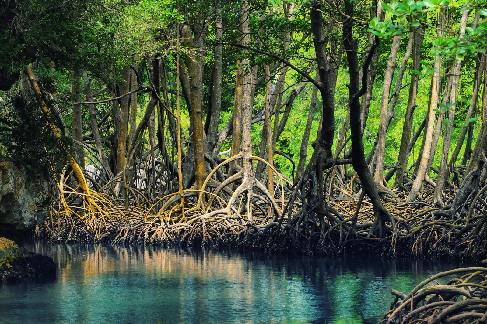
Los Haitises is the Dominican Republic's most unusual day trip from the capital. Instead of a beach or a colonial street, you ride a small boat through mangrove channels and between steep, tree-covered limestone islands, with pelicans overhead, and then walk into caves where people painted and carved on the walls long before Columbus. It is a long day, 12 to 13 hours with the drive, and it is a good deal quieter and wilder than the places most visitors book. This guide covers what the park is, what you will see, what the sources say about the rock art and who made it, how to get there from Santo Domingo, and what to check before you commit a whole day.
Park sizes, dates and fees are inconsistent across sources, so the figures are given with a note where they disagree. Anything that could not be traced to a source is left out. The park is not a place you can wander freely, and the way you get in is mostly by boat with a guide, which shapes the whole trip. If you want a shorter outing, the Los Tres Ojos guide covers the cave lakes on the edge of the capital, and the Altos de Chavón and La Romana guide covers a very different day out to the east.
What Los Haitises Is
The park lies on the shore of Samaná Bay in the northeast of the country and surrounds much of San Lorenzo Bay. A conservation group's page on the park says it extends into the provinces of Samaná, Hato Mayor and Monte Plata. Another Dominican source adds Sánchez Ramírez and part of Santo Domingo province, and the sources are not consistent about its limits. They agree more closely on its size. Several give about 1,600 square kilometers, and one page gives 1,635, with mangrove and marine area included. If a number matters to you, treat 1,600 as the commonly quoted figure.
The legal history is clearer. A Dominican news article says Law 244 of 1968 created a forest reserve called the Zona Vedada de Los Haitises, and that Law 409 of June 3, 1976 created the national park. An economics newspaper, elDinero, says the 1968 reserve covered 208 square kilometers around San Lorenzo Bay and that a 1992 decree widened the protected area to 1,600 square kilometers and brought in the mangroves. The same article says the park receives more than 24,000 visitors a year on average, a figure from the park's management plan.
The Name and the Rock
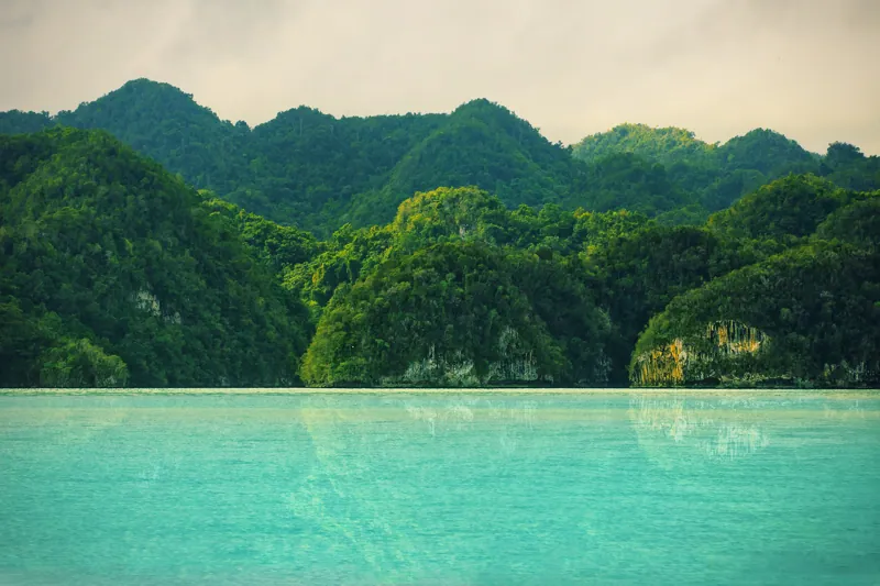
The name is Taíno. A research article on the park's rock art says that in the language of the Taíno, Haitises meant high land or mountain. A conservation group translates it as high or mountainous land. For the people who gave the place its name, the hills were the first thing to notice, and from a boat they are still the first thing you notice: rounded, steep-sided hills of limestone that rise out of flat land and water. They are called mogotes.
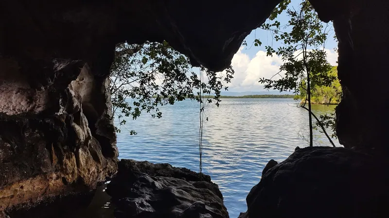
The same research article says the geology is karst dating to the Tertiary period, about 50 million years ago, and that it contains many caves, several of which were used by indigenous people as dwellings or ceremonial centers. A travel guide describes the karst rock as of coral origin and about 50 million years old, with mogotes that rise directly out of the water along the coast. It adds that similar hills are mostly found on land in Cuba and Puerto Rico. Millennia of erosion, it says, created caves above and below ground, and some can be explored by kayak, while others are reached by swimming or diving. That is the physical reason the park looks the way it does: dissolving limestone makes sinkholes, caves and towers, and the sea has partly flooded the result.
Mangroves and Birds
Most of what you see from the boat is mangrove. The travel guide describes the park as holding the largest continuous mangrove forest in the Caribbean. A Dominican article lists the species as black, white, yellow and buttonwood mangrove. Mangrove roots stand in the tidal water, and the channels between them are the park's main routes. A travel article on day trips advises that there are no facilities once you reach the mangrove channels, so bring water and snacks.
The Bird Life
Birds are the second reason to come. A birding guide says the bay's island mogotes are nesting places for brown boobies and magnificent frigatebirds, and that herons, egrets, gulls and terns use the coastal parts. The travel guide lists pelicans, cormorants and frigatebirds as the most commonly seen birds and says dolphins are occasionally spotted. The park is a resting point for many migrating birds, according to the same guide. A Dominican article says there are more than a hundred bird species, including pelicans, frigatebirds and black herons.
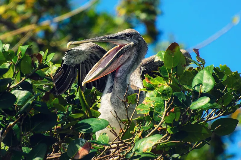
The rarest bird is Ridgway's hawk. The birding guide calls it critically endangered and endemic, says at most 200 remain, all in Los Haitises, and names shooting (by people who mistake it for the red-tailed hawk) and habitat loss as the main threats. A hike to see it starts at the Hotel Paraíso Caño Hondo, crosses fields and climbs a mogote, and the page estimates about three hours round trip including viewing time. It says a good local guide gives a strong chance of seeing the hawk, which had stayed in a couple of valleys for at least five years. This is a birder's trip rather than a casual day tour, and the same page advises using guides arranged through the hotel rather than at the dock.
The park also protects mammals that few visitors will see. A Dominican article lists bats, the jutía, a rodent, and the solenodon, and a travel guide describes the Hispaniolan solenodon as nocturnal and endangered. A newspaper article on the park's water adds that a 1990 study cited in the management plan reported 730 plant species, of which 127, or 17.39 percent, are endemic to Hispaniola.
The Caves and the Rock Art
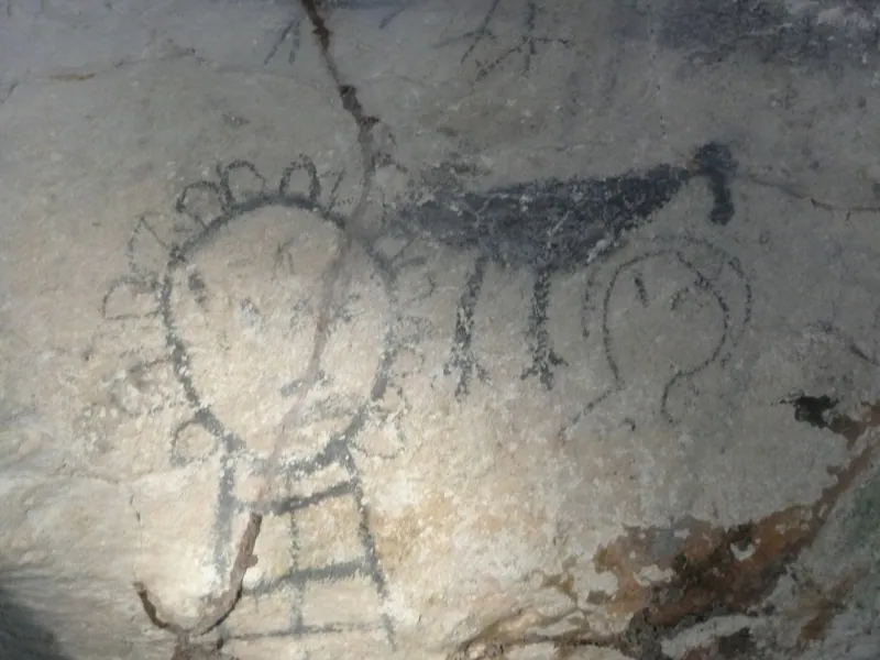
The park's caves are why people with an interest in the Taíno come. A Dominican article says there are more than a hundred caves, and calls it the country's largest collection of rock paintings linked to pre-Columbian cultures. The caves most often named on tours are Cueva de la Arena and Cueva de la Línea, which a conservation group says contain petroglyphs and pictographs, with Cueva San Gabriel often mentioned for its pictographs. A pictograph is a painting; a petroglyph is a carving.
What Researchers Counted
The most detailed source is a long academic article on rock art in the park. It is an academic summary, and its author says the cave art has never been the subject of a detailed scientific study. Its figures are worth quoting because they show the scale. It counts about 1,042 paintings across the sites, with the Cueva del Ferrocarril alone holding more than 950 visible paintings, though many more were likely lost, mostly to natural causes. Other sites it lists include Boca del Infierno with about 37 paintings, San Gabriel with about 19 and La Arena with 22. It counts about 76 petroglyphs, with the most at San Gabriel, about 20, and it counts about 5 bas-reliefs. At La Arena, two human-head bas-reliefs are built on the cave's natural stone formations at the entrance.
The paintings, it says, are mostly black or dark gray, small and brushed, with no volume, and show a high number of birds. Subjects include birds, fish, human figures and deities. Among the notable images at the Ferrocarril cave, the article names a female deity with a 13-ray diadem that it links to a lunar cult, and two shark figures. The petroglyphs are mostly human faces, and many use natural formations to add volume. The article notes that the carvings often sit in sunlit areas near cave entrances, and that some are in hard-to-reach spots that suggest scaffolding or help.
Who Made It
Here the sources need care. Tour pages and travel guides say the Taíno made the art, and the travel guide says archaeological finds suggest the caves were inhabited about 3,000 years ago. The rock art article is more cautious. It says the cultural group responsible has not been identified with certainty, because the remains of different cultures lie beneath the painted and carved walls. The caves contain preceramic shell middens and upper layers with pottery of two later cultures, and the article says the caves were inhabited for at least 3,000 years. For one cave it attributes the scenes to Arawak peoples. The cautious reading is that the caves were used and decorated over a very long time, and that the sources do not settle which group made which images. For the people themselves, see The Taíno of Hispaniola.
Traces After Contact
One of the more interesting details is that the walls also record what came after. The article says La Arena has five sailing ships that a researcher identified as probably 16th-century vessels. It also notes graffiti at La Arena dated 1822 and one from a 1952 visit by a group, and that a cave called Jony or Lelo has later carvings, including a Christian cross and a date from probably the second half of the 19th century. The article's author says the rugged terrain and long coastline have prevented systematic exploration, so more caves likely remain unreported. The first rock art in the bay's caves was reported in 1869, it says, by a researcher it names as William Gab.
Conservation
The article says protected-area status has helped preserve the pre-Hispanic landscape, but that natural processes have erased many paintings and sea erosion has worn down some petroglyphs. It says carvings at one site are hard to see because of the condition of the limestone. This is a practical reason to keep to the guide's route and leave the walls alone. You will see names and dates scratched by earlier visitors, and they are part of the damage.
Water Under the Hills
The park is also a water source, which most visitors do not hear about. The elDinero article says its underground caverns hold one of the most important freshwater reserves on the island, and that according to the management plan the reserve supplies about 25 percent of the Dominican population, including aquifers of resort areas around Juan Dolio and Boca Chica. It says the karst aquifers feed about 110 rivers and streams of regional and national importance. The article is from 2017 and quotes the plan, so treat the percentages as the plan's claims. The point is that protecting the hills matters for reasons beyond birds and rock art.
Park Rules
The park is protected, and rules shape the trip. The travel guide says the park can be reached only by boat and that a guided tour is mandatory, with no independent exploration, and that large parts of the park are closed to the public to protect them. The same guide says that if you travel independently, you can book the tour at the boat dock once you arrive. The birding guide says there is a park office at the north end of Sabana de la Mar near the pier, where you can also hire a guide. It lists the entrance fee as RD$100, and the elDinero article from 2017 uses the same figure. Treat that as a floor rather than a current price, and check at the park office or with your operator.
One day tour from Santo Domingo does not allow pets, and its price includes the park admission. The travel guide also asks visitors to respect the restricted areas and be careful around endangered species. No official list of cave rules is cited, so ask your guide what is allowed in each cave.
How to Go From Santo Domingo
Los Haitises is about two to three hours from Santo Domingo, and the departure points are on the Samaná Bay side. Three towns serve as boat bases. The travel guide says ferries depart from Samaná town, Sánchez and Sabana de la Mar. From Santo Domingo, the usual base is Sabana de la Mar.
By Organized Tour
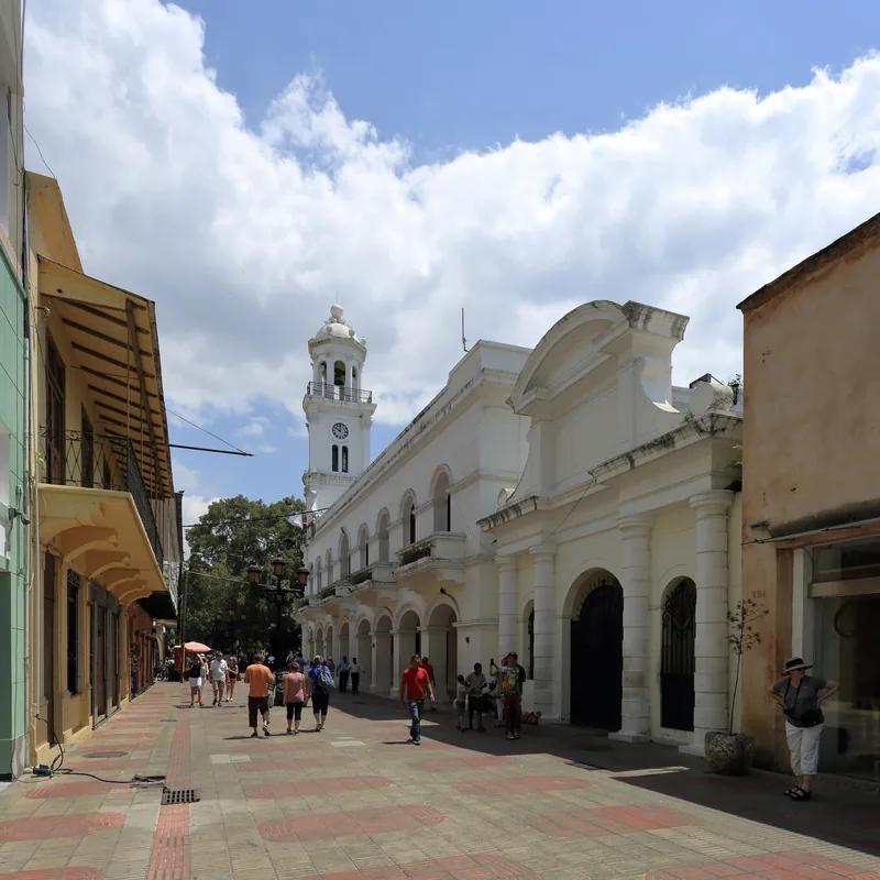
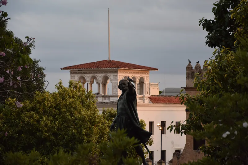
This is the simplest way. A tour operator runs a day trip that meets at Parque Colón in the old city. The itinerary is a drive to the park's starting point, a boat trip into the cays and mangrove channels, a visit to petroglyph caves, a stop at Cueva de la Arena, a boat ride to Cayo Levantado for lunch, and the return. The drive is about 2.5 to 3 hours each way, and the whole day lasts 12 to 13 hours. The price includes bus or minibus, boat, a guide in English, Spanish and French, park admission and lunch. Free cancellation is available up to 24 hours before.
By Car
If you drive or hire a driver, the distance depends on the source. A day-trip article gives 104 kilometers and about 1 hour 45 minutes from Santo Domingo to Sabana de la Mar, and a route calculator gives 153 kilometers and about 2 hours 19 minutes from Sabana de la Mar to Santo Domingo. A birding guide gives older directions: drive east on the coastal highway toward San Pedro de Macorís, take the ring road around the city and cross the highway bridge, turn left toward Hato Mayor, and follow signs to Sabana de la Mar. Just before the village, signs point to the national park and Cueva de la Arena, and a dirt road of about 8 kilometers leads to a fork, with the hotel on one branch and the boat dock on the other. Roads change, so use a current map.
That article adds that the boat transfer into the park is about 30 minutes each way, and that you should book an eco-certified operator in advance because groups are small. The travel guide also lists Samaná town as a ferry base, and the Samaná Peninsula guide covers that area. A Dominican article describes a boat tour from the pier in Sánchez, in Samaná province, lasting about two hours with life jackets and a guide.
Walking Trails
Most visitors never leave the boat and the cave paths, but there are walks. A national park guide lists three trails: a humid forest trail of about 2 kilometers round trip, easy to moderate; the Caño Hondo to Los Haitises karst trail, about 6.4 kilometers round trip, moderate; and a coastal trail to Cueva de la Arena of about 1.6 kilometers round trip, easy. The birding guide describes a moist forest trail of about 3.8 kilometers and roughly two hours from Caño Hondo to Caño Salado, followed by a short boat ride back. Distances differ between pages, so ask your guide.
When to Go and What to Bring
The best months are generally December through April, according to a national park guide, which suggests planning at least a full day. Whales gather in Samaná Bay from about January to March, but the guide says they are not typically seen within the park itself. The travel guide says snorkeling and diving in the bay are possible all year.
A day-trip article suggests bringing binoculars, waterproof sandals, quick-dry clothing and insect repellent, along with snacks and water. A hat and sun protection are sensible on a boat with little shade, though the sources do not say that, so take it as plain advice. For the other seasons of the Dominican year, the best time to visit Santo Domingo page covers weather and crowds. Rain affects boat tours, so ask your operator about their policy if the forecast is poor.
Getting there from the penthouse
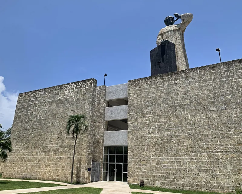
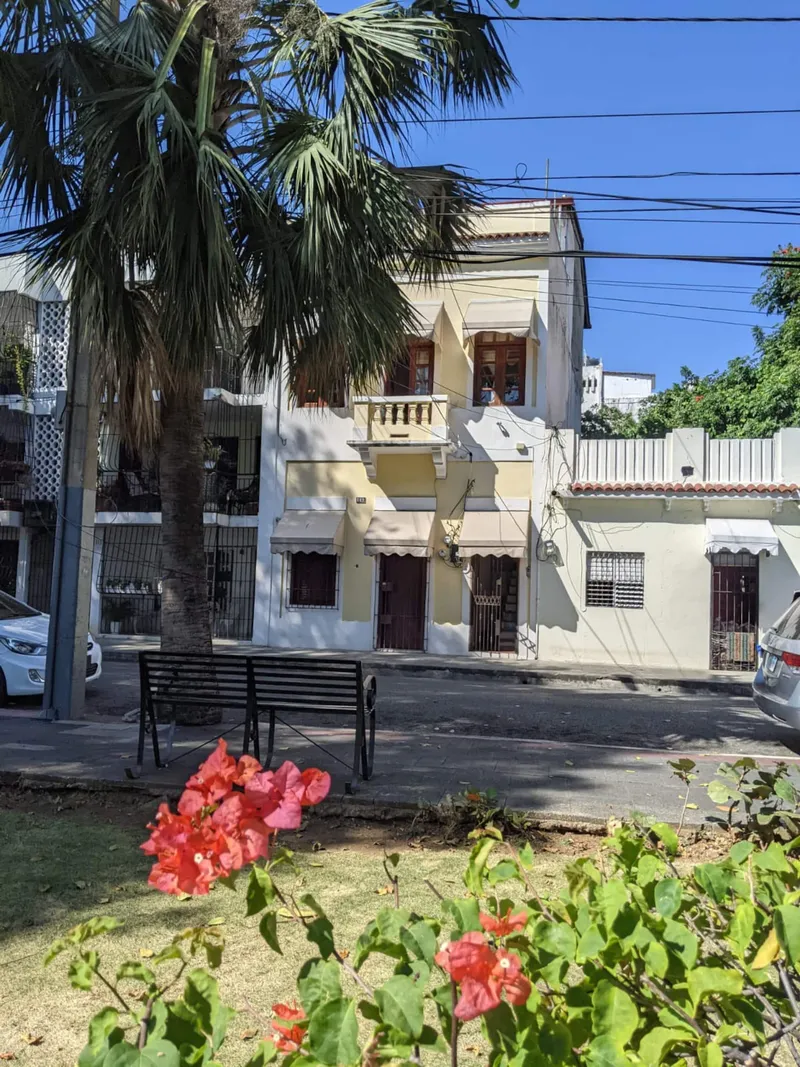
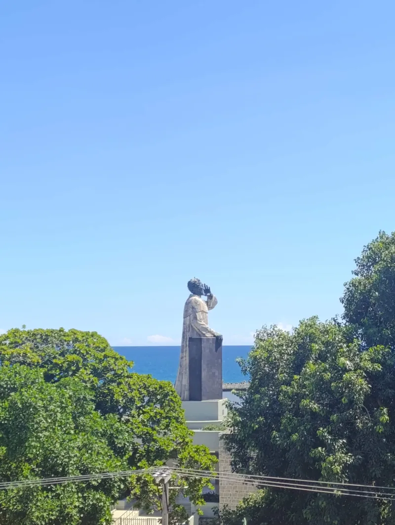
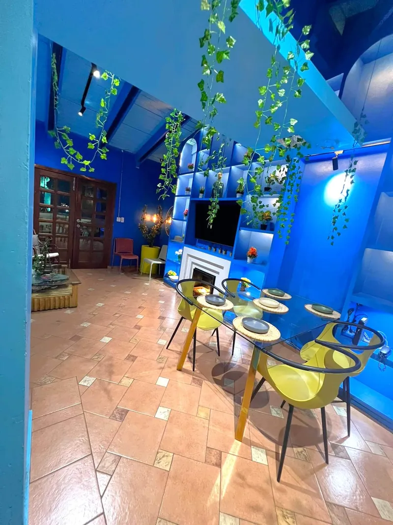
Penthouse Pallazzo is a townhouse built in the 1760s, about 150 meters north of Playa Montesinos, facing the Montesinos monument, at roughly 18.4697, -69.8851. The day trip meets at Parque Colón. By the straight-line distance between map coordinates on OpenStreetMap, multiplied by 1.3 for real streets, at 80 meters a minute, rounded up to the next five minutes, that is about 10 minutes on foot.
From the square, the bus or minibus takes roughly 2.5 to 3 hours to the boarding point, and the full day runs 12 to 13 hours. If you hire a driver instead, the sources give 104 to 153 kilometers and about 1 hour 45 minutes to 2 hours 20 minutes of driving to Sabana de la Mar, so a driver can collect you from the house and spare you the walk. Plan an early start and a late return. For a general orientation to the rest of the city before or after, the Zona Colonial complete guide is the place to start.
Frequently asked questions
How long does a Los Haitises day trip from Santo Domingo take?
The day tour from Parque Colón lasts 12 to 13 hours, with about 2.5 to 3 hours of driving each way to the boarding point, plus a boat trip through the mangroves, cave visits and lunch.
Can I visit Los Haitises without a guide?
The travel guide says the park can be reached only by boat and a guided tour is mandatory. Another guide says that if you travel independently you can book a boat tour at the dock when you arrive. A birding guide says there is a park office near the pier in Sabana de la Mar where you can hire a guide.
Who made the rock art in the caves?
Tour pages credit the Taíno, but a detailed article on the park's rock art says the cultural group has not been identified with certainty, because remains of different cultures lie beneath the walls. The caves were inhabited for at least 3,000 years, it says.
How big is the park?
Several sources give about 1,600 square kilometers, including mangroves and marine areas. An older 1968 forest reserve covered 208 square kilometers, according to elDinero, and a 1992 decree widened the protected area.
What animals can I see?
Pelicans, frigatebirds, cormorants and herons are the most common, and dolphins are occasionally seen. The park holds the endangered Ridgway's hawk, with at most 200 left according to a birding guide. Mammals include the solenodon and the jutía, but they are rarely seen.
When is the best time to go?
December through April is generally best. Whales appear in Samaná Bay from about January to March but are not typically seen within the park itself. Snorkeling and diving in the bay are possible all year.
Sources
- http://www.rupestreweb.info/haitises2.html
- https://www.barcelo.com/pinandtravel/de/nationalpark-los-haitises-dom-rep/
- https://caribbeanbirdingtrail.org/?p=4648
- https://acento.com.do/entretenimientos/los-haitises-un-lugar-magico-y-encantador-9281863.html
- https://national-parks.org/?p=11654
- https://eldinero.com.do/48782/los-haitises-zona-clave-para-garantizar-agua-potable-al-turismo-del-este/
- https://www.civitatis.com/EN/santo-domingo/trip-haitises-national-park?aid=3886
- https://unique-universe.blog/day-trips-from-santo-domingo/
- https://www.calcularruta.com/de-sabana-de-la-mar-a-santo-domingo.html
- https://nominatim.openstreetmap.org/search?q=Parque+Col%C3%B3n+Santo+Domingo&format=json&limit=3